Plate 1 figs. a–h · 3 observations
This species has been photographed under an open licence only 3 times, so some figures below are different views of the same plant, taken on the same day, rather than different individuals. They are usually different parts of it: the leaf, the flower, the bark.


Every figure is a research-grade observation under CC0, CC BY or CC BY-SA, rehosted with the photographer’s name, the licence and the observation it came from. Photographs under a NonCommercial licence are excluded from this site and are never stored, which costs us a great many pictures and is not negotiable.
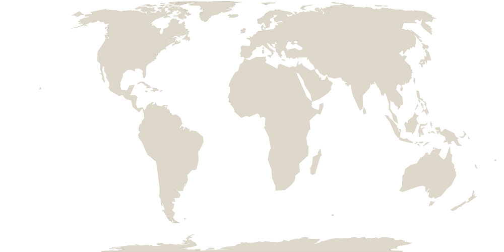
Native range 21 botanical countries
| Region | TDWG code | Continent |
|---|---|---|
| Burundi | BUR | AFRICA |
| Djibouti | DJI | |
| DR Congo | ZAI | |
| Egypt | EGY | |
| Ethiopia | ETH | |
| Kenya | KEN | |
| Madagascar | MDG | |
| Mauritania | MTN | |
| Mauritius | MAU | |
| Namibia | NAM | |
| Réunion | REU | |
| Rwanda | RWA | |
| Socotra | SOC | |
| Somalia | SOM | |
| Sudan-South Sudan | SUD | |
| Tanzania | TAN | |
| Uganda | UGA | |
| Oman | OMA | ASIA-TEMPERATE |
| Saudi Arabia | SAU | |
| Yemen | YEM | |
| Nepal | NEP | ASIA-TROPICAL |
Not drawn on the map: Socotra. We hold no public-domain boundary for this region, so it is listed rather than guessed at.
Region boundaries approximated from Natural Earth (public domain) and mapped to TDWG World Geographical Scheme for Recording Plant Distributions (WGSRPD) level-3 botanical countries (Brummitt 2001). Indicative, not the official WGSRPD geometry.
Sourcesevery claim on this page
- World Flora Online Plant List. accepted name, authority, classification. CC0. Retrieved 2026-07-12.
- iNaturalist. photographs and flowering annotations, CC0 / CC BY / CC BY-SA only. per photograph. Retrieved 2026-06-27.
- Kew, World Checklist of Vascular Plants (WCVP v16). native distribution by TDWG level-3 botanical country, and life form. CC BY 3.0. Retrieved 2026-06-04.
We publish what we can source and we say so when we cannot. This page has no care advice and no toxicity claim, because we do not yet have those from a source we can cite.